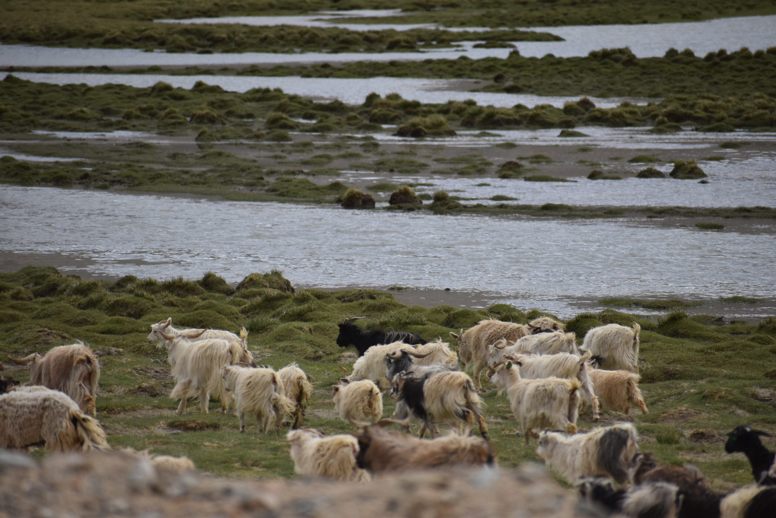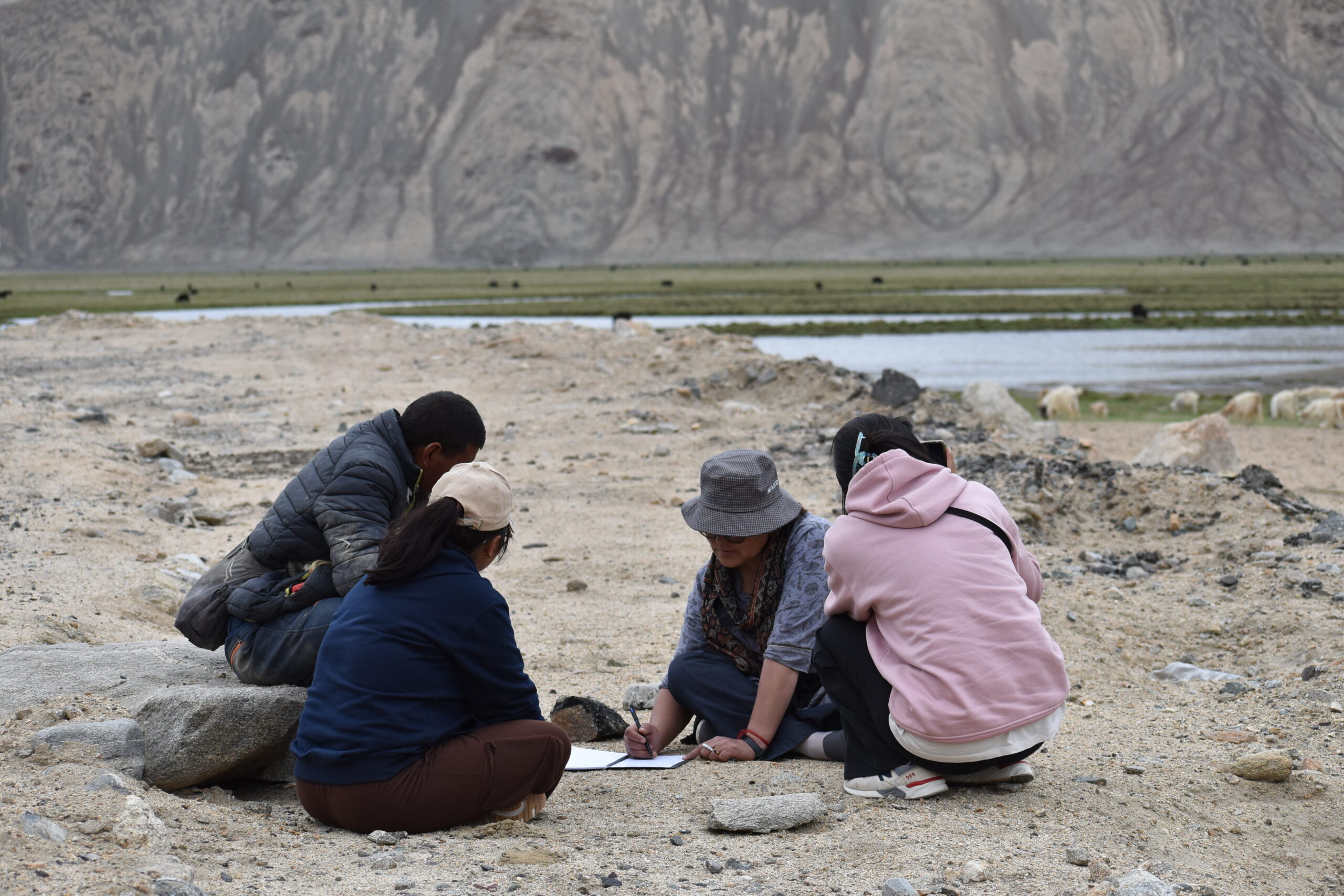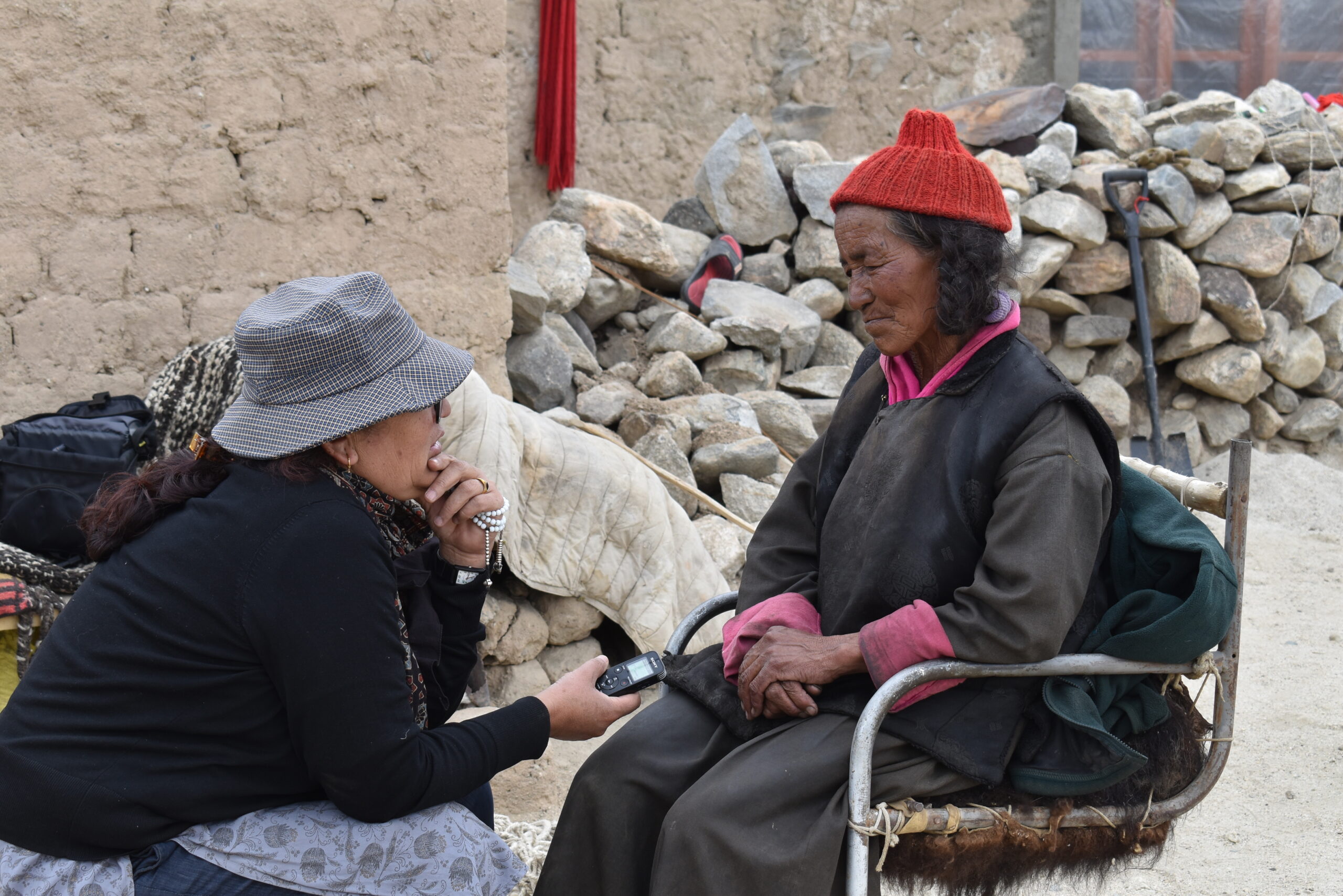


A pilot project to map the nomadic landscape of the Changpas of Korzok Tegazung with an identification of key cultural and natural attributes was initiated in 2018 . Following this, a larger project has been launched to understand the rapidly declining nomadic pastoral landscape of Changthang by mapping migration routes of over twenty groups of Changpas and semi nomads. Many groups today have foresaken the nomadic life to settle in villages across Durbuk and Nyoma and the memory of migration rests with elders from these communities. The project works with youth from the region to map this nomadic heritage. A map of Changthang will be developed to highlight the complex network of routes that once crisscrossed the Changthang landscape.

